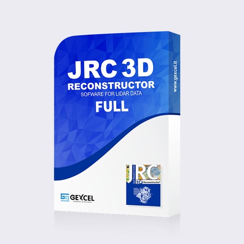
Description
Software for a complete 3D Lidar data processing in every industries
- Data import: 3D laser scanner, lidar sensors (terrestrial, airborne, mobile), UAV, DTM
- Main outputs: 3D meshes, point cloud models, colored mesh models with texture, DTM, plans, cross sections, isolines, high-res orthophotos, inspection, area, volume, etc.
- Laser scanners compatibility: DotProduct, Faro, Riegl, Stonex, Surestar, Teledyne-Optech, Topcon, Velodyne, Z+F
- Included tools: LineUp Pro for automatic target-less scans registration
What’s inside this package?
- 1 computer-based single license (to work on a single PC). The USB-based license is also available to “move” the software on more PCs
- 64bit version
- LineUp Pro tool for automatic target-less scans registration
- Gexcel ReCap Plug-in* to connect JRC 3D Reconstructor with ReCap360
- 1-year Support/Maintenance: technical support via email + software updates/upgrades. At the end of this period, the license will continue working properly, but the access to further updates or support services is not available.
- Video tutorials and online training material (all in English) to learn using the software
* licensed versions of JRC 3D Reconstructor and ReCap360 software required
Technical Information JRC 3D Reconstructor FULL & FULL Educational
KEY POINTS
- Raw data importing from different lidar sensors (terrestrial, airborne, mobile); 3D point clouds; mesh and CAD models
- Advanced data filtering
- Scans alignment and geo-referencing
- Mesh creation, editing and simplification
- Calibration of digital images and texture mapping with high resolution images
- DTM creation
- Calibration of high resolution digital images and texture mapping
- Data extraction: specific tools for construction, architectural, heritage, mining and tunneling applications
- Easy export to CAD and other modelling software (3DStudioMax, Rhinoceros, Cinema 4D, etc.)
IMPORT
- Point clouds from LiDAR, UAV, total station in open formats (txt, LAS, E57, ptx, pts, asc, ply)
- Scans from 3D laser scanner manufacturers (fls, zfc, rxp, 3dd, x3s, x3m, clr, cl3, dp, ixf, imp)
- Meshes and CAD models (dxf, ifc, stl, wrl, 3ds, ply, obj, dae)
- RIEGL RiSCAN PRO projects and Z+F LaserControl projects (thermal camera included
- Raw scans colorization (FARO and TOPCON supported)
EXPORT
- point clouds (txt, LAS, E57, ptx, pts, asc, ply, ptc, ixf)
- 3D mesh models (dxf, stl, wrl, 3ds, ply, obj, dae)
- cross sections, edges, polilines (dxf, txt)
- maps, orthofoto, spherical and cylindrical views (bmp and standard image formats)
- inspection report (pdf)
- volume report (pdf)
- volume and cut&fill report (pdf)
- videos (avi)
- new ReCap 360™ formats (rcp, rcs) through Gexcel ReCap Plug-in
- new JRC 3D Reconstructor projects (recprj) and raw data (rup, rgp) for direct importation in ReCap 360™ through Gexcel ReCap Plug-in
OUTPUT
- point cloud models
- colored mesh models with texture
- digital terrain models
- plans
- cross sections (also along tunnel axis)
- isolines
- orthophotos with high resolution images
- orthographic, cylindrical, spherical and perspective 2.5D views (virtual scan)
- 2D view of cylindrical surfaces for tunnel inspections
- crests & toes
- planarity and verticality maps
- deformation and displacement maps
- points surfaces comparisons (inspection)
- 3D model edges
- area and volume
- cut&fill volume
- distances and annotations
- fly-through videos
SYSTEM REQUIREMENTS
- OS: Windows (XP SP2, Vista, 7, 8, 10)
- Version: 64 bit
- CPU: multi-core processor (8 Cores at least)
- Graphic card: NVIDIA GeForce GTX with 2GB Ram (for a large use of points) or NVIDIA Quadro (for a large use of mesh and texture)
- RAM: 16GB


Reviews
There are no reviews yet.